Beaches in Jacksonville
2 beaches in Jacksonville with enough measured data to rank.
2 beaches in Jacksonville.
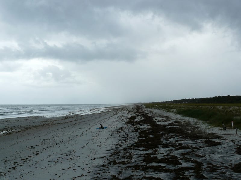 Jacksonville, Florida80 Good beach day84 F water · 2.2 ft wavesParking · Sunrise over water · Restaurants and barsView beach
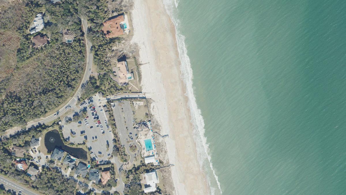 Jacksonville, Florida78 Good beach day83 F water · 2.4 ft wavesParking · Sunrise over water · PierView beach
What Jacksonville beaches are known for
Jacksonville's signature is sunrises over the water (all of its beaches) and parking (all), far more than is typical in Florida. The sea is warm from late spring into autumn, with moderate surf on a typical day. About half of them have restaurants and bars within a short walk, about half have a pier, and about half have a beachfront hotel.
Today in Jacksonville
Good beach day, 76 of 100
Wind up to 11 mph, waves up to 2.4 ft, 30% rain chance, high 84 F.
Wind, up to11 mph
Waves, up to2.4 ft
Rain chance30%
High84 F
Climate in Jacksonville, averaged across ranked beaches
| Month | Sea temp | Air max | Rain days | Wave height |
|---|---|---|---|---|
| Jan | 60 F (16 C) | 63 F (17 C) | 7 | 2.5 ft |
| Feb | 61 F (16 C) | 69 F (21 C) | 6 | 2.9 ft |
| Mar | 64 F (18 C) | 73 F (23 C) | 10 | 2.9 ft |
| Apr | 71 F (22 C) | 78 F (25 C) | 8 | 2.9 ft |
| May | 77 F (25 C) | 83 F (29 C) | 12 | 2.3 ft |
| Jun | 81 F (27 C) | 87 F (30 C) | 18 | 2.2 ft |
| Jul | 84 F (29 C) | 89 F (32 C) | 22 | 1.7 ft |
| Aug | 85 F (29 C) | 88 F (31 C) | 22 | 2.5 ft |
| Sep | 83 F (28 C) | 83 F (28 C) | 19 | 3.6 ft |
| Oct | 77 F (25 C) | 77 F (25 C) | 10 | 4.0 ft |
| Nov | 71 F (22 C) | 73 F (23 C) | 7 | 3.0 ft |
| Dec | 64 F (18 C) | 66 F (19 C) | 6 | 3.5 ft |
When to go
Warmest sea: August at 85 F (29 C). Calmest water: July, mean daily maximum wave 1.7 ft. Fewest rain days: January, February, December.
© OpenStreetMap contributors. Weather data by Open-Meteo.com.
2 beaches
2