Beaches in Anna Maria Island
3 beaches in Anna Maria Island with enough measured data to rank.
3 beaches in Anna Maria Island.
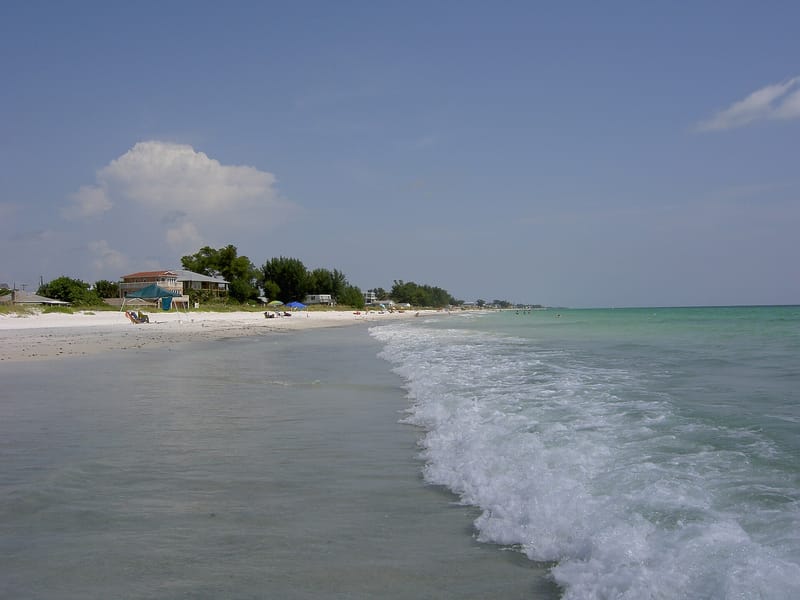 Anna Maria Island, Florida85 Good beach day88 F water · 0.5 ft wavesParking · Free parking · Sunset over waterView beach
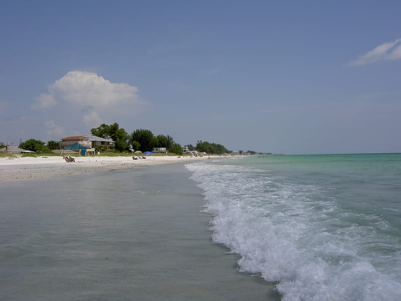 Anna Maria Island, Florida84 Good beach day88 F water · 0.4 ft wavesParking · Sunset over water · Restaurants and barsView beach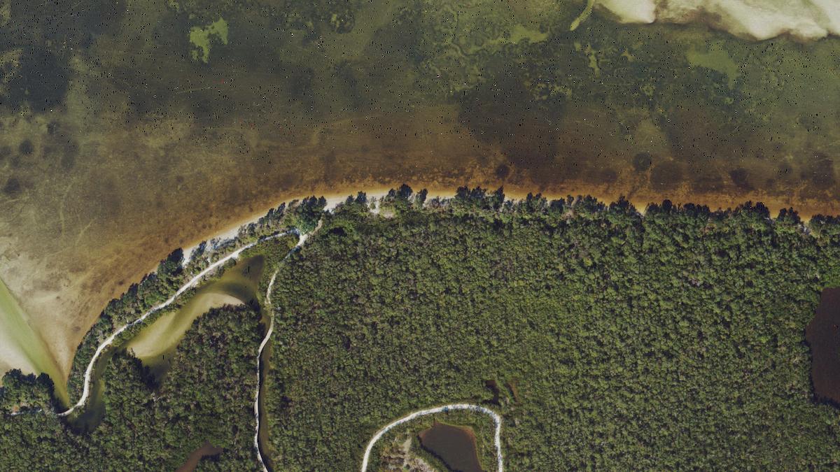
Seven Pines
3.5Anna Maria Island, Florida83 Good beach day88 F water · 0.3 ft wavesBoardwalkView beach
What Anna Maria Island beaches are known for
Anna Maria Island's signature is lifeguards (most of its beaches) and sunsets over the water (most), which few beaches in Florida can match. The sea is warm for most of the year, and the surf is usually small. Most of them have parking nearby, most have restaurants and bars within a short walk, and most have a hotel nearby.
Today in Anna Maria Island
Good beach day, 83 of 100
Wind up to 14 mph, waves up to 0.9 ft, 23% rain chance, high 87 F.
Wind, up to14 mph
Waves, up to0.9 ft
Rain chance23%
High87 F
Climate in Anna Maria Island, averaged across ranked beaches
| Month | Sea temp | Air max | Rain days | Wave height |
|---|---|---|---|---|
| Jan | 62 F (17 C) | 66 F (19 C) | 8 | 2.1 ft |
| Feb | 67 F (19 C) | 70 F (21 C) | 4 | 1.8 ft |
| Mar | 71 F (22 C) | 74 F (23 C) | 7 | 2.0 ft |
| Apr | 76 F (24 C) | 78 F (26 C) | 7 | 1.8 ft |
| May | 82 F (28 C) | 83 F (28 C) | 9 | 1.3 ft |
| Jun | 86 F (30 C) | 85 F (30 C) | 18 | 1.4 ft |
| Jul | 89 F (32 C) | 87 F (31 C) | 20 | 1.0 ft |
| Aug | 89 F (32 C) | 88 F (31 C) | 20 | 1.4 ft |
| Sep | 86 F (30 C) | 86 F (30 C) | 17 | 1.3 ft |
| Oct | 79 F (26 C) | 81 F (27 C) | 7 | 1.8 ft |
| Nov | 73 F (23 C) | 75 F (24 C) | 4 | 1.6 ft |
| Dec | 66 F (19 C) | 70 F (21 C) | 5 | 1.8 ft |
When to go
Warmest sea: August at 89 F (32 C). Calmest water: July, mean daily maximum wave 1.0 ft. Fewest rain days: February, November, December.
© OpenStreetMap contributors. Weather data by Open-Meteo.com.
3 beaches
3